Urban Trails – Balboa Park
Balboa Park 7 Bridges Hike
DIFFICULTY LEVEL: Moderate
LENGTH: 6.5 miles for the loop
DOG-FRIENDLY: Yes
STROLLER-FRIENDLY: No
PAY TO PARK: No
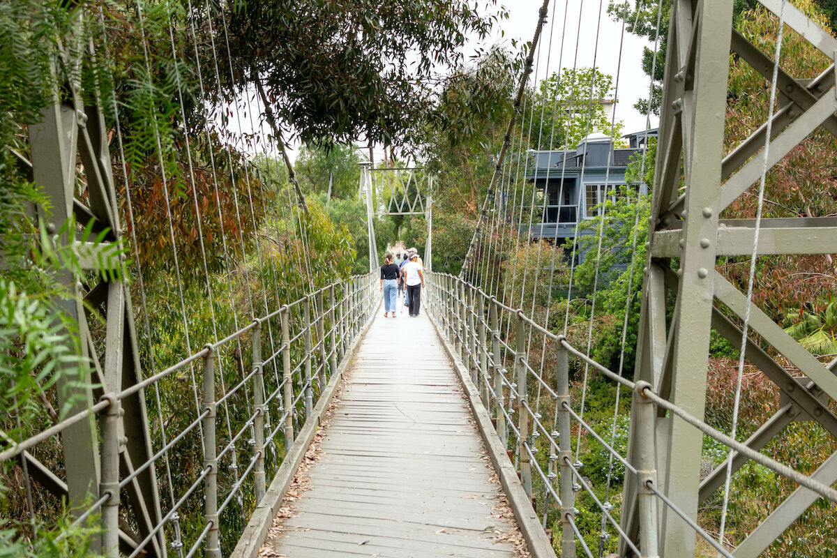
This fun loop takes you across all seven pedestrian bridges around Balboa Park. Start in Balboa Park’s Rose Garden, and take the bridge over Park Boulevard. Walk west through the park to the Cabrillo Bridge over the 163. Keep going on Laurel Street until First Avenue, then turn right to go over the First Avenue Bridge. Take a right on Quince Street and cross the Quince Street Bridge. From there, turn left on Fourth Avenue, another left on Spruce Street, and you’ll find the Spruce Street Suspension Bridge. It’s a long way to the next one: Make your way back north and east to University Avenue. (If you hit Sixth Avenue first, just head north). Take University east (you’ll cross over the 163 again, but that bridge doesn’t count!) to Vermont Street and turn left. Past the Trader Joe’s you’ll find the Vermont Street Bridge. On the other side, turn right on Lincoln Avenue and head all the way to Georgia Street, turn right again and take the short Georgia Street Bridge over University Avenue. Last is a right on Robinson Street and a left on Park Boulevard to get back where you started.
UCSD Run
DIFFICULTY LEVEL: Easy
LENGTH: 4 miles for the loop
DOG FRIENDLY: Yes
STROLLER FRIENDLY: Yes
PAY TO PARK: No
Explore the new bike paths and pedestrian bridges around the UC San Diego campus while taking a tour of the medical and research buildings in the area. This route includes several protected bike paths fully off the road. Start at the northwest corner of Westfield UTC mall and head north along Genesee Avenue. As soon as you cross over I-5, you’ll see a bike path crossing over Genesee that you can take south until you hit Voigt Drive on the UCSD campus. Then, just follow the path through campus and over the two-toned pedestrian bridge (pictures of the bridge or it didn’t happen) to join Miramar Street, then it’s a straight shot east back to your start. When you’re done, treat yourself to one of UTC’s many dining options—True Food Kitchen, Queenstown Bistro, and Great Maple are all local favorites with outdoor seating and a variety of lunch options.
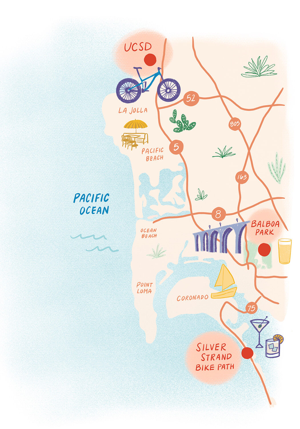
Urban Trails map
Katie Hart
Silver Strand Bike Path
DIFFICULTY LEVEL: Hard
LENGTH: 24 miles for the loop
DOG-FRIENDLY: Yes
STROLLER-FRIENDLY: Yes
PAY TO PARK: No
This path offers a long, flat run or ride with views of the ocean and marshes that stretch as far as you are willing to go. Start in Coronado on the south side of the intersection of Glorietta Boulevard and Pomona Avenue. The path leads south along Pomona, continues onto the Silver Strand, and around the south end of the bay. From there, on-street bike lanes head north to complete the 24-mile loop, or turn back to stay on the dedicated bike path. When you’re done, get drinks on the patio of the Hotel Del.


