


Written by Bryana Quintana
About 70% of earth’s surface is ocean, yet only 5% of the world’s oceans have been explored. One matter overlooked by the general public and scientific circles alike is how shifting faults and landslides thousands of feet under the water can lead to earthquakes and tsunamis on land.
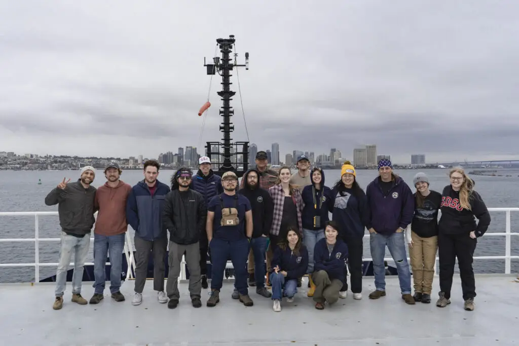
This is what San Diego State University associate professor Jillian Maloney and her team of researchers spent 12 days at sea investigating.
“These are hazards to people living in Southern California and making sure we’re prepared for these kinds of disasters saves lives and protects infrastructure,” Maloney said.
In Southern California, earthquakes are the primary cause of most large underwater landslides. Tsunamis can be triggered by earthquakes or sizable landslides which move huge volumes of sediment from higher to lower elevations, displacing large amounts of water.
Local faults like the San Andreas are well-studied and can be more easily monitored because they are on land. But faults far off the coast and well below the water are much more difficult to study and even detect.
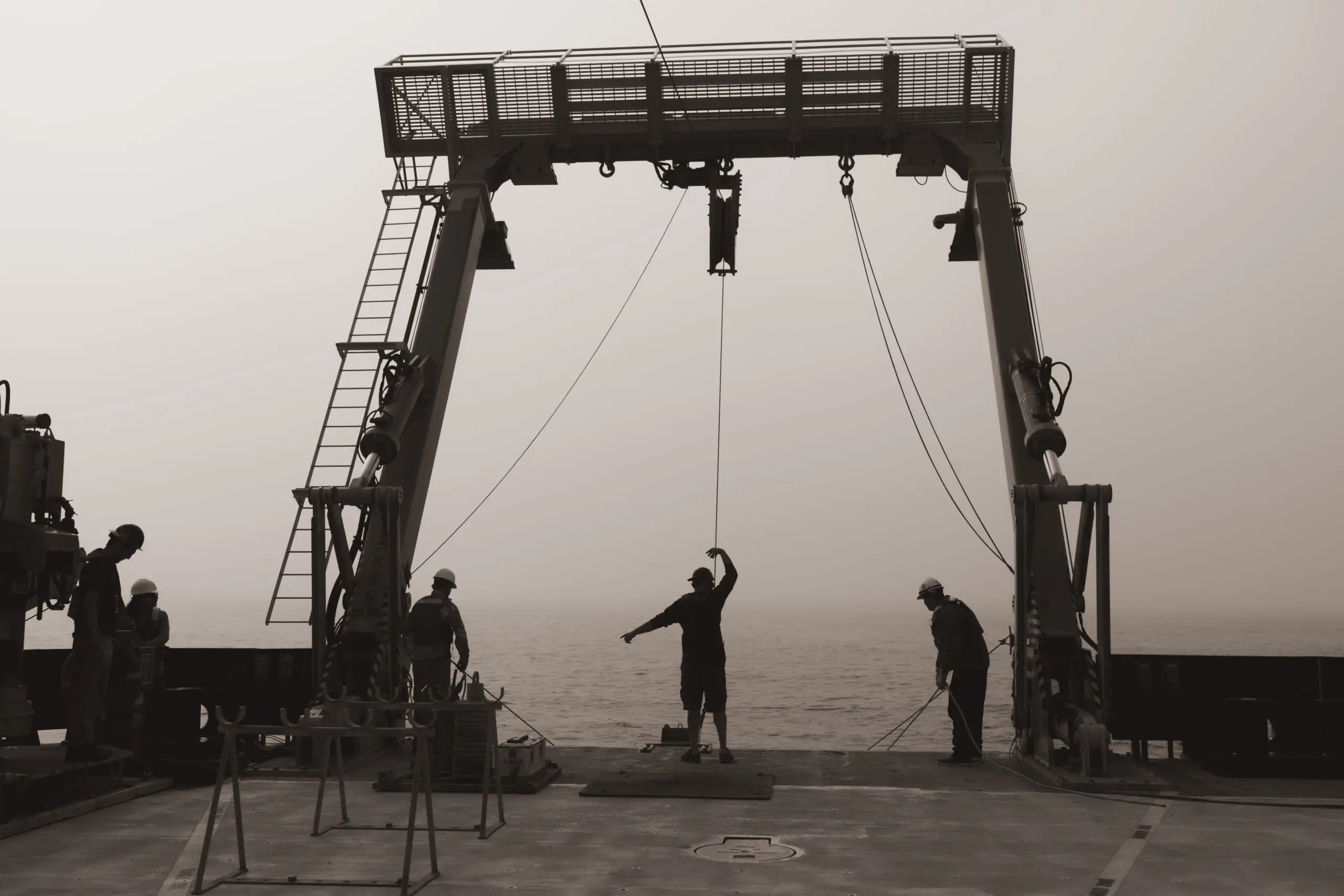
That’s where the Research Vessel (R/V) Sally Ride came in. The vessel, managed by Scripps Institution of Oceanography, is equipped with specialized scientific instruments and used exclusively for research.
With funding from the UC Ship Funds Program and a mission to map the seafloor to better predict and protect coastal communities from natural disasters, Maloney’s crew set out for the waters around San Clemente Island. About 100 miles off the San Diego coast, they saw nothing but blue sky, ocean and the occasional small island for nearly two weeks.
The team used the boat’s sonar technology to map the region’s complex topography, generating images showing the faults, tectonic segments and landslides hidden beneath the water.
“We identified faults that appear to be recently active, and that is an indication that they do pose a hazard,” Maloney said. “We identified new faults that could have earthquakes that we didn’t know about before and we did identify repeated landslide deposits, an indication that tsunamis are another hazard we should be considering.”
Maloney’s team also conducted sediment coring — quickly dropping a 10-foot tube into the water to extract a section of sediment that reflects thousands of years of seafloor history. Examining the cores for changes in sediment reveals when landslides, earthquakes and other natural events occurred. This informs on future risks.
“Besides new fault segments and new submarine landslides, we found that there may be smaller landslides that we are not able to see on a sediment core,” said the project’s chief scientist, postdoctoral researcher Andrea Fabbrizzi. “That could be very important because having more ‘invisible’ landslides can change the seismic and tsunami hazard for coastal California.”
“Geological features that we don’t see are out there and must be investigated more to have a better picture of the hazard those features represent for global coastal regions,” he added.
Maloney emphasized that offshore faults and landslides must also be included in hazard assessments, just as cities account for seismic activity on land when developing building codes and emergency plans. Recognizing these threats is key for such large metropolitan areas — whose critical infrastructure includes communications cables running along the global seafloor which transfer more than 95% of the world’s data.
“Earthquakes and tsunamis, we know from experience, are hazardous to life and property. A landslide that breaks a communication cable could be a big deal for people living here, or anything that’s on the seafloor,” Maloney said. “So we hope this work can get us closer to understanding the possibility of those affecting us so that we can be better prepared.”