San Diego’s fall weather might be a little delayed—our hottest months are often September and even October—but the calendar still makes you want to feel like it’s fall. And in San Diego County, autumn always seems to mean Julian, where you can go walk around the cozy town and eat pie and drink cider. Even if the temperature is in the 90s.
Before you head to town for fall-themed snacks, you should take the opportunity to explore some of the area’s spectacular hiking trails. Here are three hikes to try.
Stonewall Peak Trail – 4.2 miles
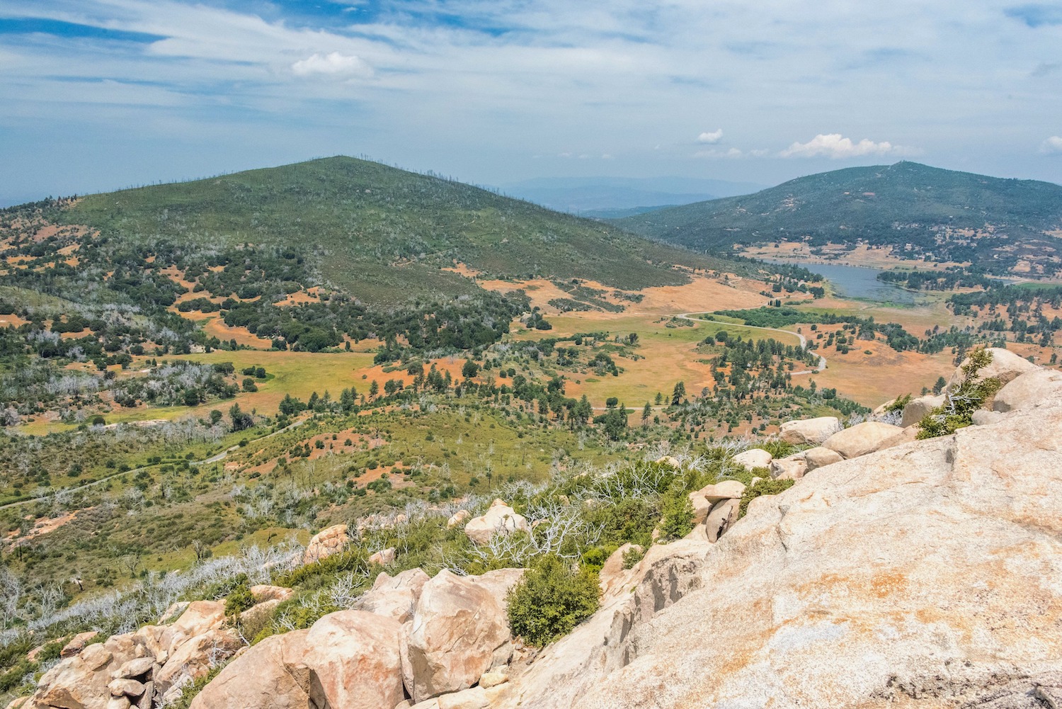
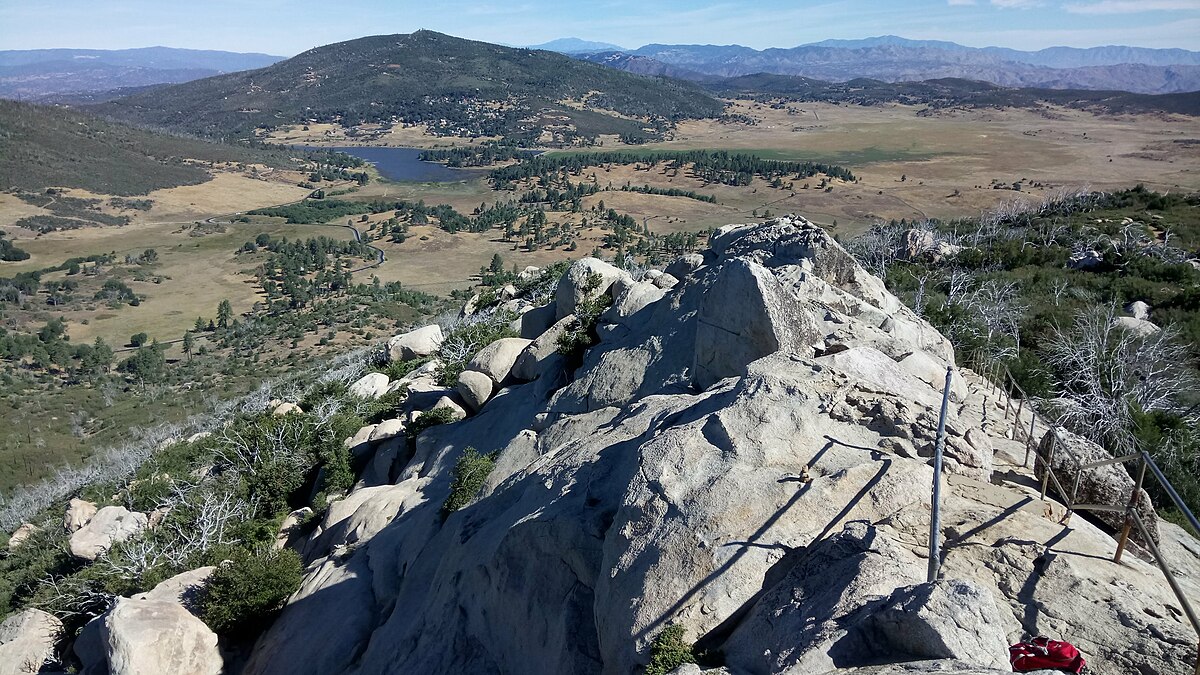
The Stonewall Peak Trail is named after the Stonewall Mine, which sits just north of the peak and is visible from the hike. After the 2003 Cedar Fire, many of the trees and shrubs were burned up, making the hike open with little cover. But the trail is beautiful—in fact, the hike was included on the original 1946 Sierra Club Hundred Peaks list.
This popular trail in Cuyamaca Rancho State Park is a short drive (about 10 miles) from Julian. It’s relatively low effort with a great payoff. There are stunning views along the way of the surrounding mountains and desert, and the top has panoramic views of Anza Borrego, the Laguna Mountains, the Salton Sea, and Palomar Mountains on a clear day.
- Directions: Start at the Paso Picacho Campground parking lot in Julian and follow the trail.
- Distance: 4.2 miles roundtrip
- Difficulty: Moderate
- Dogs: Not Allowed
- Details: You can use a California State Parks Pass if you have one (or check one out from the library). Otherwise, it’s $10 for a day pass.
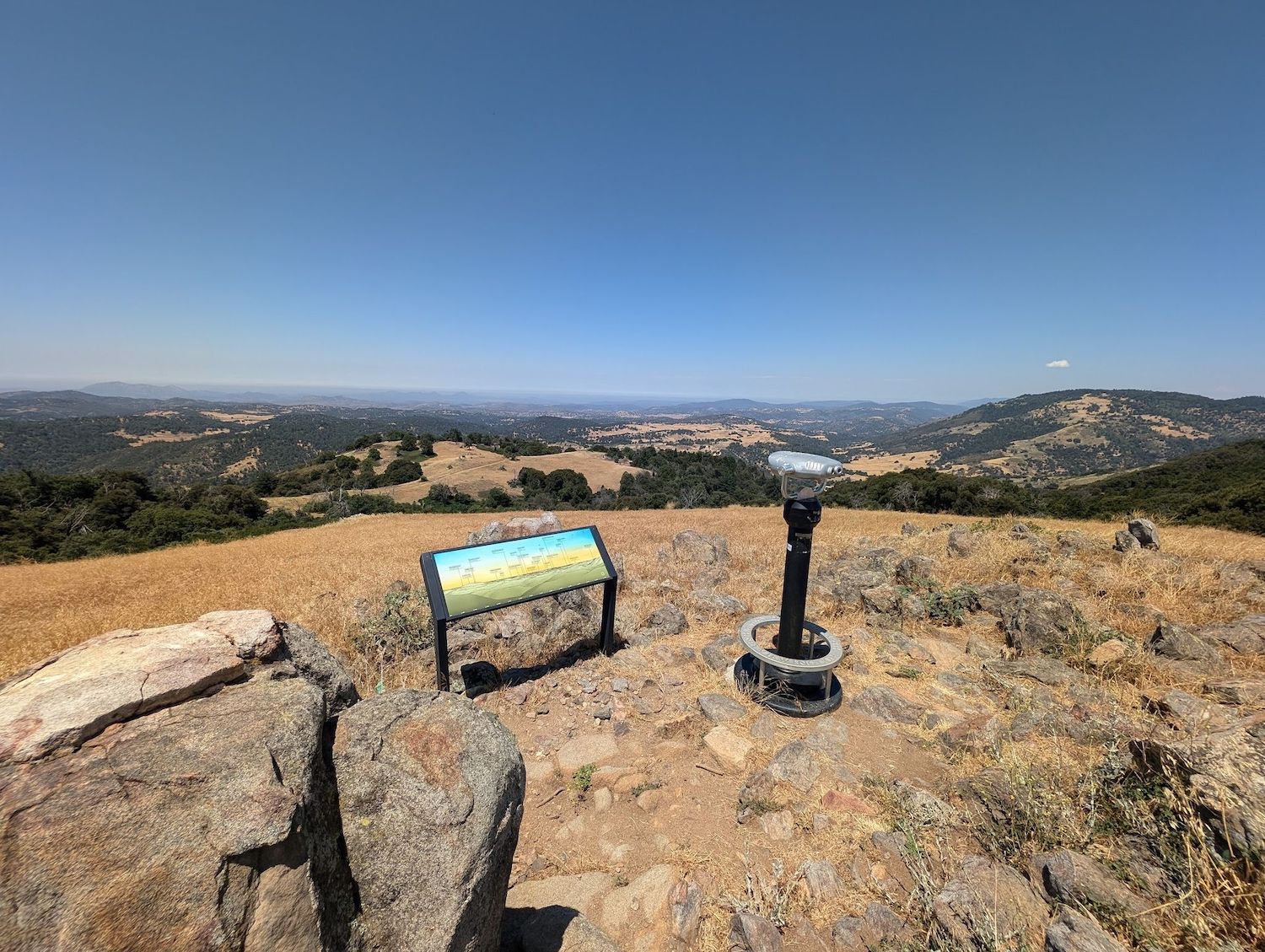
Volcan Mountain Trail – 5 miles
It’s not entirely clear how Volcan Mountain got its name—whether it’s because early settlers thought they saw volcanic rock and ash and so named it after a volcano, or because it was named for the Spanish word balcón because it looks like balcony. However it got its name, this trail is a great one to check out in the Julian area.
The trail is clear and easy to follow but has little cover, so be prepared for sun. To start the hike, you’ll pass through the iconic Hubbell gate designed by artist James Hubbell. If you climb the 5,300 feet to the top, you’ll get 360-degree views, and on a clear day can see all the way from the desert to the coast. If you want to extend the hike a bit, you can follow the Five Oaks Trail on the way down.
PARTNER CONTENT
- Directions: Park at the trailhead on Farmer Road in Julian and follow the signs.
- Distance: 5 miles
- Difficulty: Moderate
- Dogs: Allowed
- Details: Parking is free
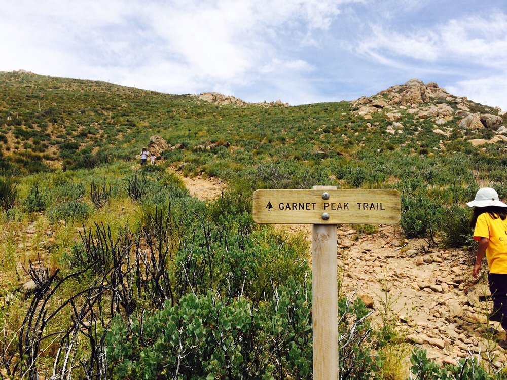
Garnet Peak Trail – 2.3 miles
This trail is part of the jaw-droppingly beautiful Sunrise Highway. The road runs through the Laguna Mountains east of San Diego, starting at Interstate 8 at Laguna Summit and extending to State Route 79 near Cuyamaca Lake. It rises from 4,000 feet elevation to just over 6,000 feet with beautiful views of the desert and mountains all along the way.
There are several hikes that start along the highway, and Garnet Peak Trail is one of the easiest but still offers amazing views. It also crosses the famous Pacific Crest Trail after about half a mile, so you can say you’ve hiked along the same path Cheryl Strayed (and then Reese Witherspoone) made famous in the film Wild. Climb the rocky path to the summit and take in views of the Anza Borrego mountains and valleys.
- Directions: Park at the trailhead on Sunrise Highway (just north of the Penny Pines Trailhead).
- Distance: 2.3 miles out and back
- Difficulty: Easy
- Dogs: Allowed
- Details: Parking is free


