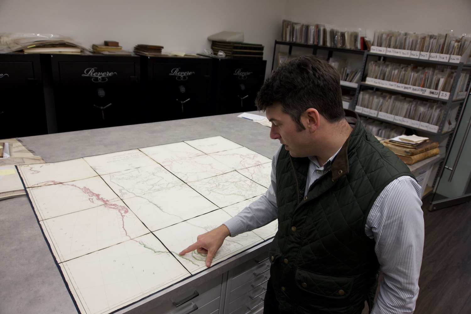
The United States map could comfortably cover a dinner table, but it offers relatively little information. While the coasts look complete, whole swaths in the center are blank, divaricated here and there by the line of a river, a squiggly mountain range. Cartographer Aaron Arrowsmith was simply working with what he knew—the 1802 map predates settlers’ westward expansion. In fact, the print that map dealer Alex Clausen unfolds is the same edition Lewis and Clark used to trace their expedition from Illinois to the Pacific. It’s a big piece of American history, with the price tag to match.
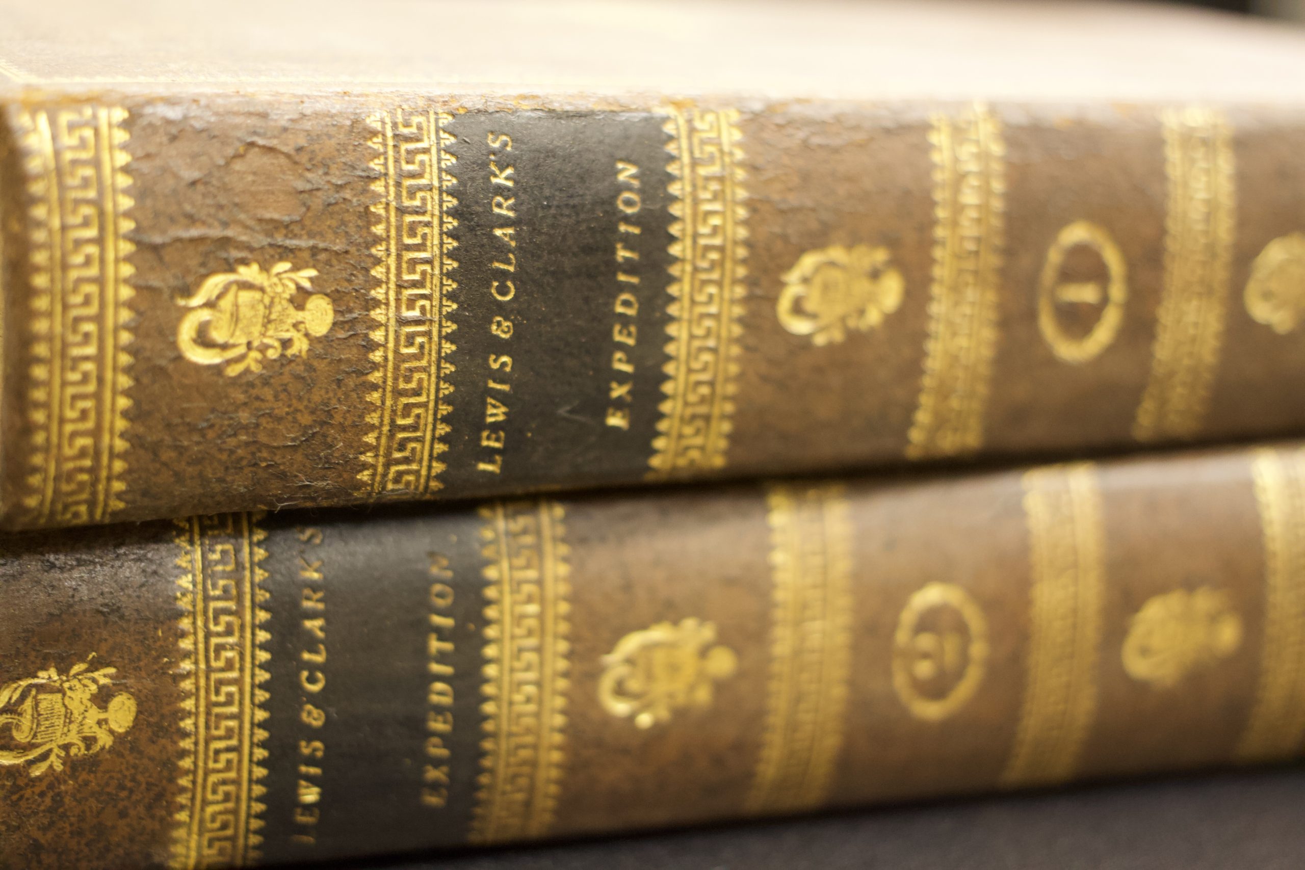
Barry Lawrence Ruderman Antique Maps recently acquired first-edition copies of Lewis and Clark’s account of their expedition.
Behind a white-painted façade in La Jolla, Barry Lawrence Ruderman Antique Maps is overflowing with such historical treasures: 13 or 14,000 yellowed maps, books, and other artifacts, some dating as far back as the 14th century, plucked from estate sales and eBay and auctions. This vast inventory (coupled with their sales volume, an average of $50,000 a day) places co-owner and president Clausen and his 15-or-so-person team among the most successful map dealers on the planet. One of the first printed atlases, the oldest modern map of Europe, medical documents related to the Trinity Test—all have passed through their savvy hands.
PARTNER CONTENT
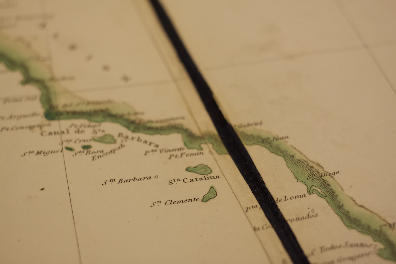
And while map sales can be a lucrative business, they’re also an important means of preserving the past. “Most of this stuff gets thrown out,” Clausen says. “One of the roles that we play is by adding value to these things, we might prevent that from happening.” Some of their first-editions or one-of-a-kind items were rescued from trash heaps. Onsite, in a kind of map hospital, staff repairs torn paper or rebinds books with aged leather excised from other, unreadable texts.
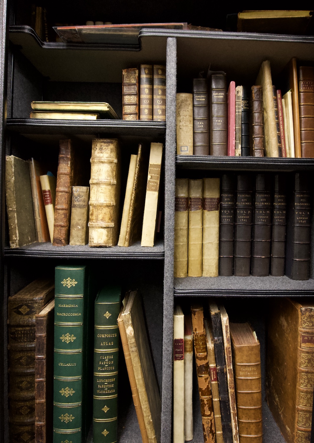
The objects go on to places of honor, from public research institutions to unparalleled private collections, chronicling time instead of being lost to it. “I thought I knew a lot about history when I started doing this,” Clausen adds. “Turns out I knew very little. People have been doing interesting things on this earth for a long time.”
