



Things to Do
18 Things to Do in San Diego This Weekend: October 6-11
Read article

Featured articles

Food & Drink

Food & Drink

Food & Drink
Featured articles

Features
Features

Everything SD
Featured articles

Things to Do

Things to Do

Things to Do
Featured articles

podcast-ep

podcast-ep

podcast-ep
Featured articles
Features
Features

Features
Featured articles
Things to Do

Partner content
Food & Drink

Here's where to celebrate National Trails Day on June 3
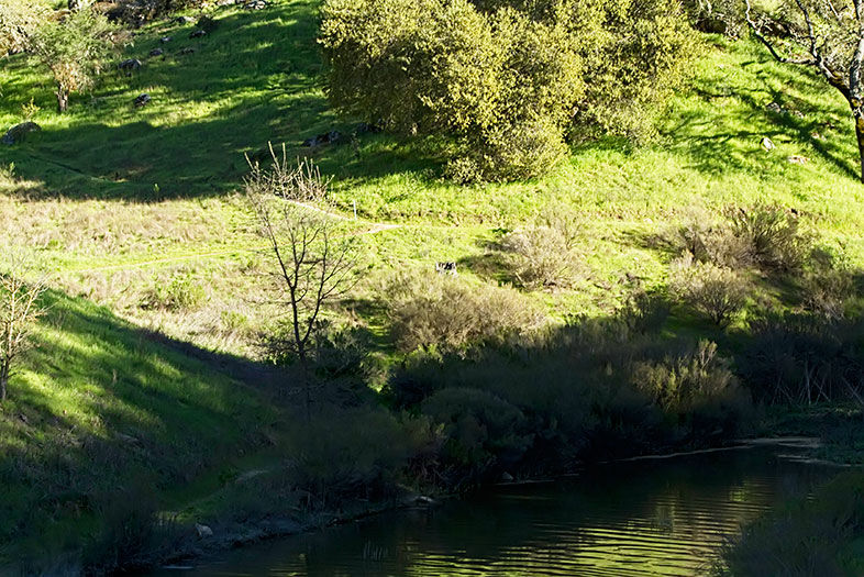
This wooded path takes you through green grass and along a picturesque river. Stop and dip your feet in the river if you get too hot.
Start here: Sandia Creek Drive and Rock Mountain Drive
Length: 6 miles for the loop
Level: Easy
This trip takes you to a lesser-known part of Mission Trails Regional Park than the well-traversed Cowles Mountain. It’s also a part of the newly launched Five-Peak Challenge. Hike the park’s quintet of peaks over 1,000 feet and snap a selfie at the top of each for an official certificate and pin.
Start here: SR-52 and Mast Boulevard
Length: 5.4 miles
Level: Moderate
This path is flat, car-free, and follows a perfect 5-mile loop that hugs the lake the entire way. As you cross the dam on the western side of the lake, you’re treated to a picturesque view of La Jolla.
Start here: Scripps Lake Drive at the Miramar Water Treatment Plant
Length: 4.9 miles
Level: Moderate
This relatively hidden loop has beautiful views of the upper and lower Otay lakes. Early on the trail, you’ll pass the upper reservoir dam, which has been covered with graffiti. It makes for a startling sight in the middle of natural open space. You can extend your run and feel like an Olympian by taking Wueste Road to Olympic Parkway.
Start here: Otay Lakes Road about a half mile east of Wueste Road
Length: 2.2 miles for the loop
Level: Moderate
This trail used to be covered with graffiti, but was recently reopened after a grant-funded restoration. Following it means climbing through narrow rock passages and a chance to detour into a cave. After tracing the route, you can continue along the Solana Hills trail if you want a longer hike or run.
Start here: North Rios Avenue and Solana Point Circle
Length: 0.25 miles for the loop
Level: Easy
The trail up one of San Diego County’s highest points is rigorous but has unbeatable views. Go soon to take advantage of the cooler weather—you’ll still work up a sweat. In winter months, the parking lot closes at 4:30 p.m., so be sure to arrive early enough to have time for the four- to six-hour hike.
Start here: Wildcat Canyon Road and Shenma Road
Length: 11.2 miles
Level: Difficult
For even more trails, click here.
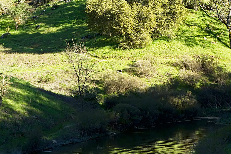
6 Scenic Hikes Perfect for Enjoying San Diego’s Great Outdoors
Santa Margarita River Trail
