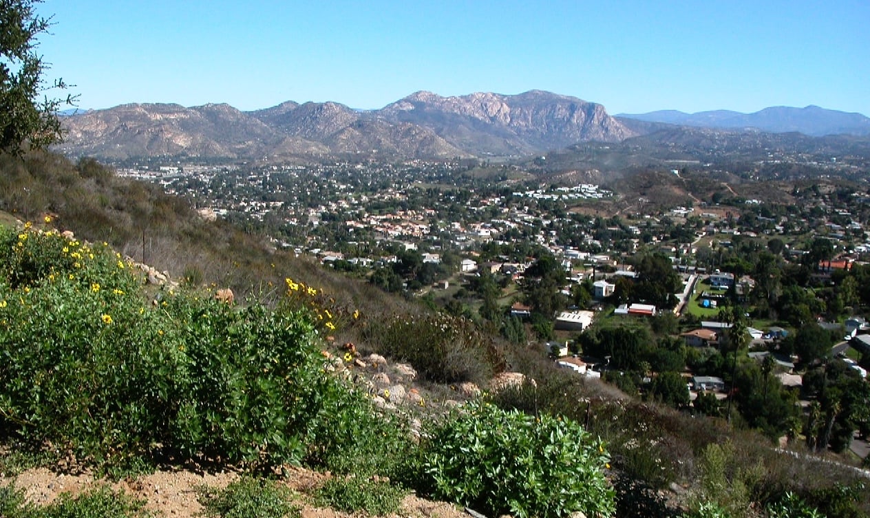
Sure, San Diego has its picturesque hikes. Its beautiful scenic hikes where you can contemplate the exquisiteness of our surroundings and remind yourself that this is why your rent or mortgage is so high. It also has fun hikes, social hikes, hikes where you can bring your parents, your kids, and your friends who don’t usually exercise.
But sometimes you just really want a challenge. A butt-busting workout that will leave you panting and make your wearable device very happy with your step count and heart rate.
Luckily, the San Diego region has plenty of these hikes, too. But there are some cautions. Before attempting any of them, make sure you are ready—that you’ve done some easier hikes in the region and have a good base of fitness. Also bring plenty of water, food, sun protection, and go early in the morning on days that will not be as hot.
El Cajon Mountain Trail – 11.6 Miles
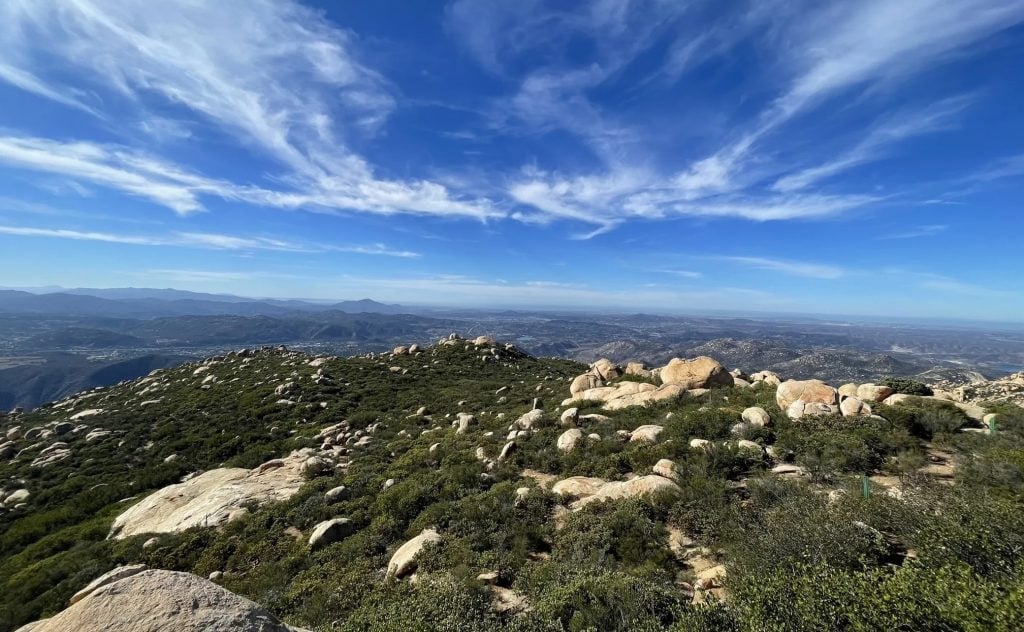
For most hikers, the El Cajon Mountain Trail is really the epitome of challenging hikes in the region. Some like to call it El Capitain, or El Cap, not to be confused with the far taller mountain in Yosemite. But this hike still has lots of steep climbs, and it’s not just a steady uphill, but times where you climb down and then up again to make it to the summit. The trail is rocky at times as well, with big boulders to cover. But if you make it to the top, you’ll feel like you really accomplished something significant. And on a clear day, you can see all the way to the ocean.
Even if you don’t make it all the way, you can stop at any of the saddles on the trail and take in the panoramic views. But be prepared, you will definitely feel sore the next day.
- Directions: Start at the parking lot on Wildcat Canyon Road.
- Distance: 11.6 miles roundtrip
- Dogs: Allowed
- Details: The parking lot is open from 8 a.m. to 7 p.m. The trail is closed in August due to the heat.
Mt Gower Open Space Preserve – 9.8 Miles
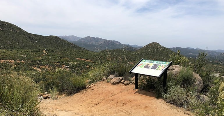
Mount Gower Open Space Preserve is a massive space in Ramona, and has a few trails that are very challenging but with seriously stunning views. The open space covers 1,574 acres, and has the trail to Mount Gower summit. The summit itself does not actually fall in the preserve—that’s in Cleveland National Forest. But you can reach it on the trail that goes through the preserve. And the viewpoints along the way make the long journey worth it.
There are multiple routes to take to the top. If you follow the southern trail, you get the best views of the San Vicente Valley below.
PARTNER CONTENT
- Directions: Start at the parking lot at the end of Gunn Stage Road.
- Distance: 9.8 miles roundtrip
- Dogs: Leashed dogs allowed
- Details: The parking lot doesn’t open until 9 a.m., but if you want to start earlier, you can park outside the gate. That adds an extra 0.25 miles to your hike. Also, be on the lookout for poison oak, which is sometimes found along the trail.
Black Mountain in Ramona – 14.5 Miles
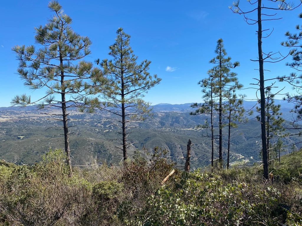
Another very challenging but rewarding hike in Ramona is Black Mountain. This is not to be confused with the smaller Black Mountain near Rancho Peñasquitos, which is a far easier hike. Sometimes it’s called Big Black Mountain to make the distinction. The trail takes you past a variety of trees and plant life, including oak groves and chaparral, as well one of the biggest growths of Engelmann Oak, a threatened species.
You can start the climb from the Santa Ysabel Truck Trail, which is also open to off-road vehicles, but is always open for hiking. In the rainy months, this road can get very muddy, so be warned.
- Directions: From downtown Ramona, follow Pamo Road to the gated Forest Service Road entrance. Park along Pamo Road.
- Distance: 14.5 miles roundtrip
- Dogs: Leashed dogs allowed
- Details: Be prepared for mud in the winter and spring. There are no bathrooms at the parking lot or on the trail.


