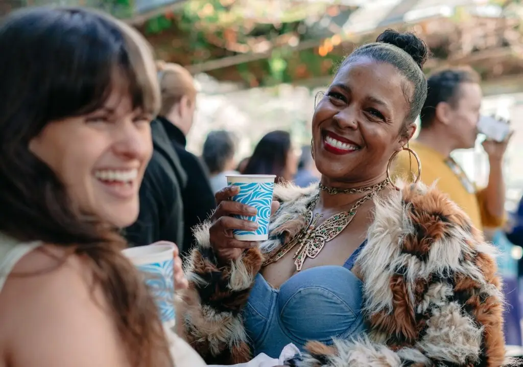
It’s happening, San Diego. The pre–Comic-Con excitement jitters begin to creep in as soon as July hits the calendar. But for those who forgot to set an alarm on registration day, whose batteries died or whose luck ran out in the virtual waiting room, or who simply prefer to soak up the fandom frenzy from the outside, we’ve got the best ways to experience Comic-Con weekend—no badge required.
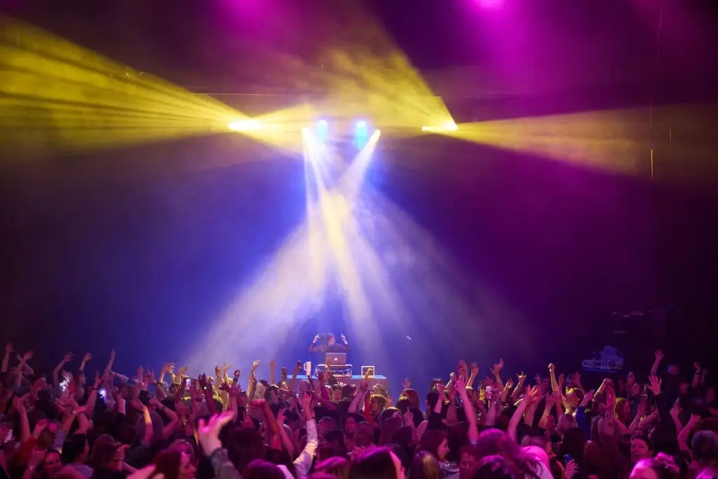
Ready Party One: The Final Level 2026 SDCC Kickoff Party
Ain’t no party like an after-hours party, and XLE Productions’ Ready Party One is definitely one for comic book fans. Kick-start your convention weekend at Parq Nightclub and enjoy music by fan-favorite ’80s tribute band The Flux Capacitors, along with enough fandom fun, cosplay, retro gaming and pop-culture nostalgia to satisfy your inner geek. At least for the night.
Date & Time: Wednesday, July 22, 8 p.m.
Location: Parq Nightclub, 615 Broadway, San Diego, CA 92101
Price: Tickets start at $34
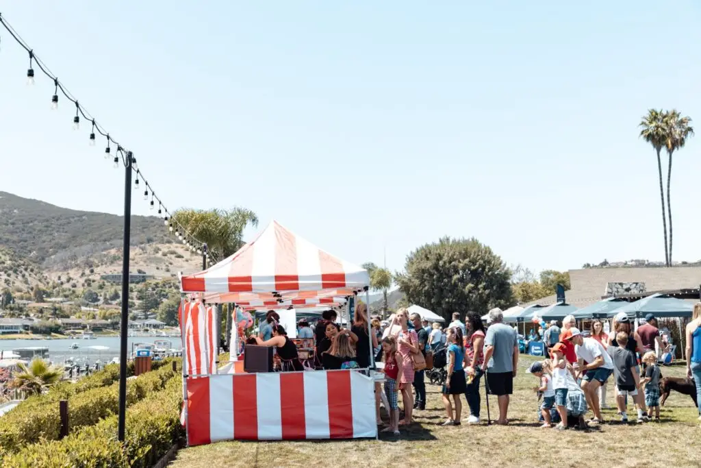
Interactive Zone at Petco Park and Gallagher Square Events
With more than a dozen activities and brand activations, Petco Park’s Interactive Zone is a badgeless fan’s playground, bringing together brands, games, celebrity appearances and immersive experiences all in one place. On Friday, July 24, Funko’s beloved annual party, hosted by Funko founder Mike Becker, returns to Gallagher Square. This year’s “Quest for the Grail” event will take guests on a journey to the sunken city of Atlantis. Expect themed décor, food, drinks, games and special guest appearances.
Date & Time: Thursday, July 23–Sunday, July 26 (times TBD)
Location: Lexus Premier Lot across from Petco Park
Price: Free; Funko Funday event is ticketed
Chuck Jones Gallery Pop-up Meet-and-Greets
Cartoon and art lovers can celebrate the work of Chuck Jones, creator of some of animation’s most iconic characters, including Bugs Bunny, Daffy Duck, Road Runner, Wile E. Coyote and Pepé Le Pew, at Seaport Village’s Chuck Jones Gallery. During Comic-Con weekend, the showroom will also host meet-and-greets with talented artists including Disney artist and seascape painter Steve Barton, The Simpsons animator Stephen Reis, and licensed Warner Bros., Hanna-Barbera and Disney fine artist Ben Olson.
Date & Time: Thursday, July 23–Saturday, July 25, 2026 (times TBD)
Location: Chuck Jones Gallery, 809 W. Harbor Drive, San Diego, CA
Price: Free
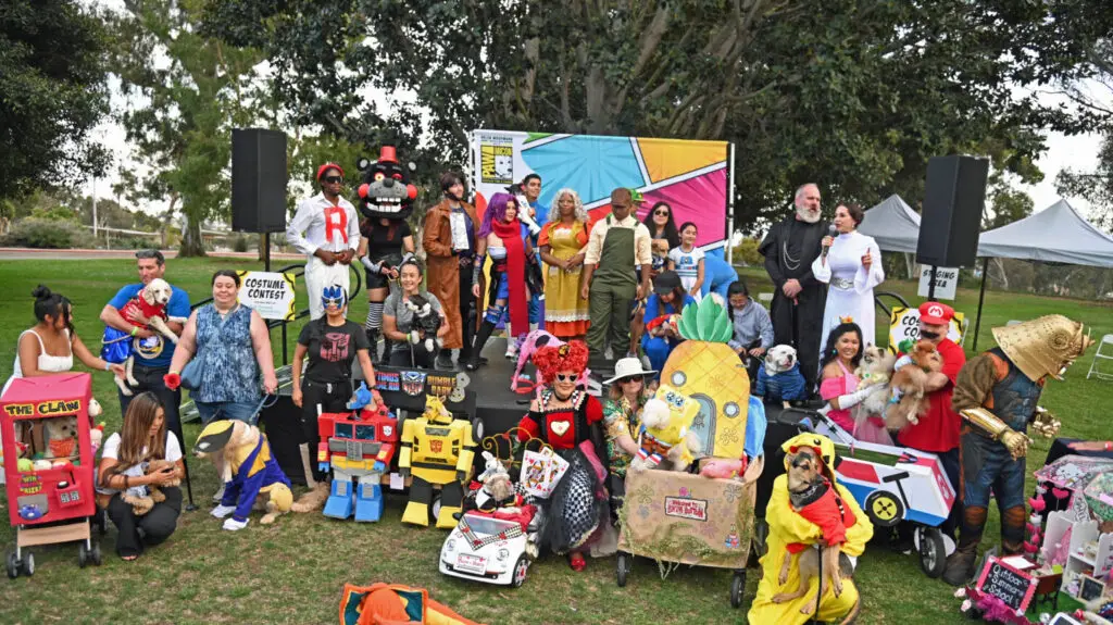
PAWmicon Pet Cosplay
Get your pup’s—and your own—cosplay game ready because Helen Woodward Animal Center’s PAWmicon is back. Enjoy a Comic-Con-themed outing with the whole family while raising awareness for orphaned pets in San Diego. Divided into three categories—Flying Solo, Dynamic Duos & Trios & More, and Fantastic Floats—the event is a paw-fect way to jump-start the festivities.
Date & Time: Tuesday, July 21, 2026, 4:30–7 p.m.
Location: Presidents Way Lawn at Balboa Park
Price: Free
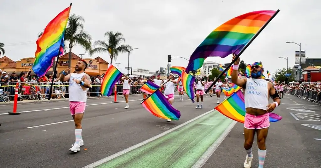
Comic-Con-Themed Bar Crawl
Why leave all the fun, mischief and mayhem to badge holders when you can join more than 300 partygoers and crawl through some of downtown San Diego’s top bars and nightclubs? Whether you’re called to save the universe or have an allegiance to the dark side, the annual Comic-Con Bar Crawl gives attendees exclusive access to more than 20 venues throughout the Gaslamp Quarter, with free welcome shots, exclusive drink discounts and complimentary entry along the way. This event for ages 21 and older is a fun way to celebrate your fandom outside the convention center.
Date & Time: Friday, July 24–Sunday, July 26, 2026, 8 p.m.–2 a.m.
Location: Check-in at Toro, 672 Fifth Ave., San Diego, CA 92101, from 8–9 p.m.
Price: $13–$30
Her Universe Fashion Show
Geek out over couture at the annual Her Universe Fashion Show at the Manchester Grand Hyatt. Hosted by founder and Star Wars: The Clone Wars actress Ashley Eckstein and presented by Warner Bros. Discovery Global Consumer Products, this year’s show will feature a selection of designers showcasing one-of-a-kind DC-inspired creations as they compete for a $2,000 cash prize.
Note: Wristbands are traditionally distributed the morning of the event on a first-come, first-served basis, but official details have not yet been announced.
Date & Time: Thursday, July 23, 6 p.m.
Location: Manchester Grand Hyatt, Seaport Ballroom, 1 Market Place, San Diego, CA 92101
Price: Free
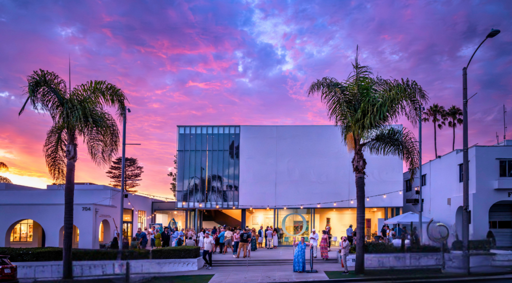
Comic-Con Museum
A destination for all things fandom, Balboa Park’s Comic-Con Museum brings world-premiere and exclusive exhibits and events to the heart of San Diego, giving fans a place to geek out all year long. The museum is currently featuring the U.S. debut of Doctor Who Worlds of Wonder, showcasing 17 of the Doctor’s most iconic costumes, a full-size TARDIS and a collection of original sonic screwdrivers used on-screen. Visitors can also explore Sangre, Sudor y Mito: The Art and Tradition of Mexican Lucha Libre, featuring rare collectibles and authentic masks and costumes worn by legendary luchadores.
Date & Time: Open Thursday through Tuesday (closed Wednesdays), 10 a.m.–5 p.m.
Location: 2131 Pan American Plaza, San Diego, CA 92101
Price: $15–$30; free for children younger than 6
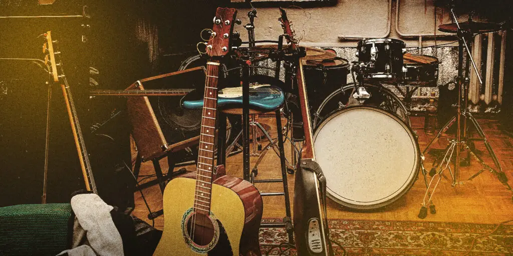
Comic-Con Art Show
Browse an extensive collection of original drawings, paintings, jewelry and other whimsical creations from more than 100 professional and amateur artists at the Comic-Con Art Show. Many pieces will be available for purchase through the silent auction or Quick Sale, giving fans the chance to take home a one-of-a-kind Comic-Con souvenir while supporting talented artists.
Dates & Times:
- Thursday, July 23: 11 a.m.–8 p.m.
- Friday, July 24: 9 a.m.–8 p.m.
- Saturday, July 25: 9 a.m.–6 p.m.
- Sunday, July 26: 9 a.m.–6 p.m.
Location: Manchester Grand Hyatt, Grand Hall CD, 1 Market Place, San Diego, CA 92101
Price: Free
Hello Kitty Café Truck
Looking for a supercute way to fuel your Comic-Con adventures? Swing by the Hello Kitty Café Truck. This traveling pink café on wheels will be parked at Petco Park’s Interactive Zone, serving up tasty treats and exclusive merchandise. From limited-edition tote bags and hats to mugs and T-shirts, it’s the perfect stop to grab a snack and a little extra kawaii cuteness.
Date & Time:
- Thursday, July 23–Saturday, July 25: 10 a.m.–4 p.m.
- Sunday, July 26: 10 a.m. (closing time TBD)
Location: Petco Park Interactive Zone, 100 Park Blvd., San Diego, CA 92101
Price: Menu items vary
PopUp Bagels, Spider-Man and Donut Bar Activations at Pendry San Diego
Get ready to fuel up and hype up. Whether you’re a plain-bagel purist or an everything-bagel fan, don’t miss your chance to grab breakfast or recharge at PopUp Bagels’ Volkswagen bus parked outside Pendry San Diego. Then satisfy your sweet tooth at Provisional with a rotating selection of character-themed doughnuts from Donut Bar. Both are available throughout the weekend beginning at 7 a.m. until sold out.
On July 24 and 25 from noon to 4 p.m., head to Nason’s Beer Hall for photo ops to celebrate Sony Pictures’ upcoming Spider-Man: Brand New Day. Guests can sample Tom Holland’s nonalcoholic beer brand, BERO, served in limited-edition themed cans available exclusively during the event.