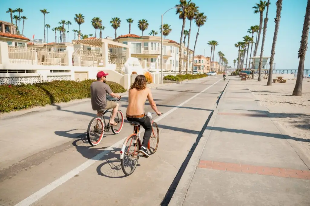
Training Wheels: A Beginner’s Guide to Urban Biking

Navigating city bike lanes with a prodigal daughter of the two-wheeled pastime
Where to Bike in San Diego

From the coast to the backcountry, here are six routes to check out
We Hit the Trails with 6 of San Diego’s A-List Adventurers

From Lake Hodges to Mount Laguna, follow these top athletes as they push the limits of their soul-stirring pursuits
5 Bike Paths to Tour Every Part of San Diego

Bicyclist Andrew Bowen shares his favorite rides to see the county on two wheels
Trail of the Month: Tecolote Canyon Trail

Tecolote Canyon Trail map Where: The trail starts at the Tecolote Nature Center at 5180 Tecolote Road off Morena Boulevard. Follow the trail and go left when you reach a junction by the golf course. Keep bearing left to hug the golf course and then follow the trail as it curves right. Stay to the […]
Trail of the Month: Tecolote Canyon Trail
Tecolote Canyon Trail map Where: The trail starts at the Tecolote Nature Center at 5180 Tecolote Road off Morena Boulevard. Follow the trail and go left when you reach a junction by the golf course. Keep bearing left to hug the golf course and then follow the trail as it curves right. Stay to the […]
Bike to Work Day 2014!

Join the work force on wheels May 16
Bike to Work Day 2014!
Join the work force on wheels May 16
The Best Hiking, Biking, Swimming, Trails and More in San Diego

Our go-to guide for where to hike, bike, run, swim, and get outside in San Diego. Plus: gear, clubs, classes, and more.
The Best Hiking, Biking, Swimming, Trails and More in San Diego
Our go-to guide for where to hike, bike, run, swim, and get outside in San Diego. Plus: gear, clubs, classes, and more.
Rosarito–Ensenada Bike Ride

The Border Report: Mexico on two wheels
Rosarito–Ensenada Bike Ride
The Border Report: Mexico on two wheels
Vintage San Diego: Free Wheelers

The San Diego Cycle and Arms. Co from 1904
Vintage San Diego: Free Wheelers
The San Diego Cycle and Arms. Co from 1904
Trail of the Month: Sweetwater River Trail
Sweetwater River trail map Great forRunning and hiking Difficulty LevelEasy to moderate Distance9 miles out and back,with shorter options LocationSpring Valley Get there: Take 94 East to the intersection of Jamacha and Campo roads. Turn right onto Singer Lane and park. The trail starts at a yellow gate next to a sign that says 11901 […]
Trail of the Month: Sweetwater River Trail

Sweetwater River trail map Great forRunning and hiking Difficulty LevelEasy to moderate Distance9 miles out and back,with shorter options LocationSpring Valley Get there: Take 94 East to the intersection of Jamacha and Campo roads. Turn right onto Singer Lane and park. The trail starts at a yellow gate next to a sign that says 11901 […]
Bike City, USA
Cycling infrastructure is coming our way in the near-ish future
Bike City, USA

Cycling infrastructure is coming our way in the near-ish future
Cycling: Easy Riders

Thanks to a nice, flat course and good food at the finish line, record numbers are expected to Bike the Coast
57 Best Places to Hike, Bike, Blade, and More in San Diego

Get outside in San Diego 2013