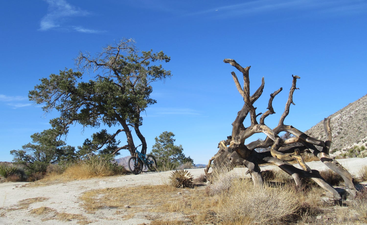
Anza-Borrego Desert State Park is the largest state park in California, at some 600,000 acres and with more than 500 miles of desert roads that are open to bikes. November through April is the perfect season to explore the natural beauty along those roads.
Here are three Borrego roads to wander this late winter and early spring:
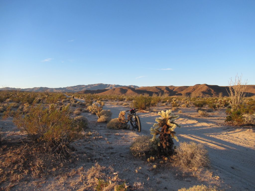
Mortero Canyon Road (8 Mi.)
On the west side of the paved S2 road, 8.5 miles north of the Ocotillo exit on I-8, there is a parking area and kiosk off the side of the road that is notable with The Impossible Railroad information sign that is there. Park your vehicle and get set up for biking on what is Mortero Canyon Rd., the sandy/decomposed granite desert road that is right in front of you.
Pedal a little over four miles away from the paved S2 road, or, head west. Your destination is the Dos Cabezas Water Tower, a remnant of the bygone days of The Impossible Railroad. From the water tower, you can go south/left or north/right on unmarked desert roads to add on more miles and exploration.
Pinyon Mountain Road (14 Mi.)
Approximately 4.5 miles south of Route 78 on the paved S2 road sits the parking area for Pinyon Mountain Rd. It is on the left (east) side of the road when traveling south, a little past Stagecoach Trails, which is an RV Resort and campground, complete with a little general store for stocking up on food and drinks for desert wandering.
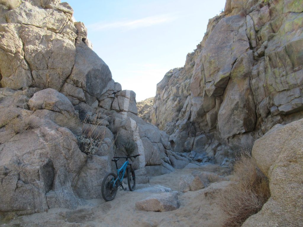
From the parking area after you saddle up, stay to the right at the first desert road intersection that is a little beyond where you parked. The desert road (Pinyon Mountain Rd.) will gradually ascend, making for a slow climb that takes upwards of an hour before you reach the top, amidst the scattered juniper trees. From there, it is classic cross-country riding on two-track.
Continue straight for a few miles to reach “the squeeze.” It is a tight geologic formation that can be biked through, but it is quite technical. Hike-a-bike is also a good idea. After passing through the squeeze, continue straight another mile or so to the end of the road for a spectacular desert view. You cannot go farther, unless you have rappelling gear. Turn around and head back, or on the way back, explore side roads to see more slot canyons.
Valley of the Moon (14 Mi.)
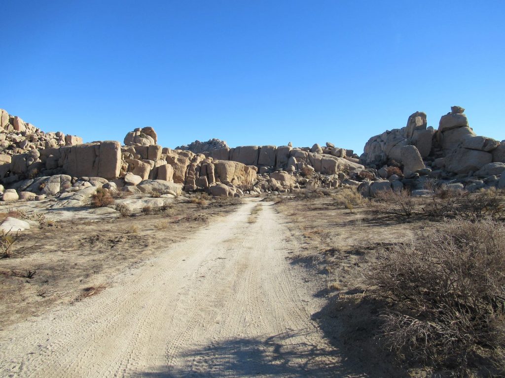
Take the In-Ko-Pah exit off the I-8, which is on the border of San Diego County and Imperial County. The large parking area for Valley of the Moon is obvious to see on the south side of the 8. With your back to the interstate, pedal over to the hard/paved road on your left and then prepare for a steep, strenuous and grueling climb to the top. It might take upwards of an hour to get up there, depending on your ability.
At the top there is an intersection and the roads are no longer paved. If you go right, you’ll climb some more before the desert road undulates up and down. Along the way, you’ll see the border wall between Mexico and the USA. I suggest going left at the intersection for wandering out into the desert in the direction of some boulder fields that are popular with rock climbers. There are several roads that shoot off from the main road that you are on, the entire area being a bowl, or a valley. Take your bearings when adventuring, reading the landscape and/or retracing your way back down to your vehicle.
PARTNER CONTENT
Recommended Biking Gear for Anza-Borrego
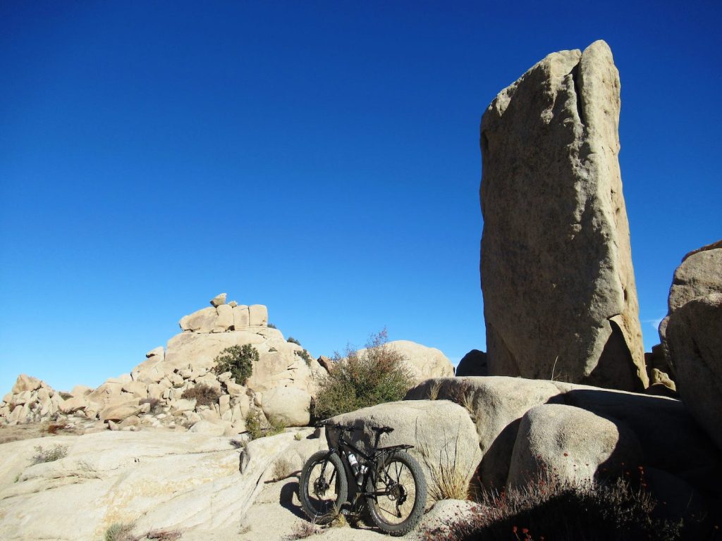
I have biked Borrego’s desert roads on a singlespeed 29er with 2.1 inch tires, a full-suspension mountain bike with 2.3 inch wide 27.5 tires, and with a fat bike that has 3.8 inch tires. The fatter the tires, the easier it is to pedal on the desert roads with deeper sand/decomposed granite.
Tips for Mountain Biking in Anza-Borrego
When the going gets deep, get to the sides of the roads where the surface will be harder and easier to pedal. Always pack more water than you think you’ll need. Three liters per person is a good minimum. Enjoy the wildflowers, cacti and if you’re lucky, the bighorn sheep.


